Walking - Hiking
BackHiking
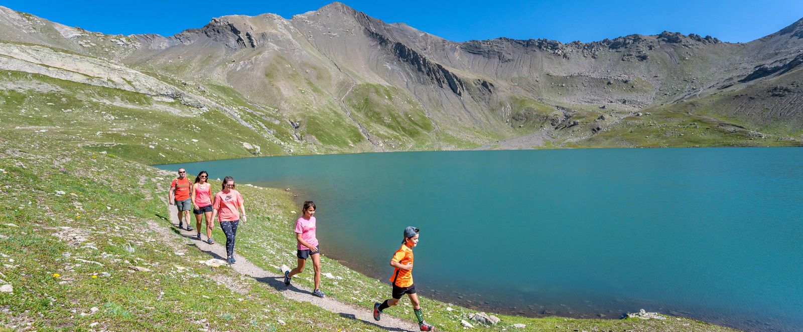
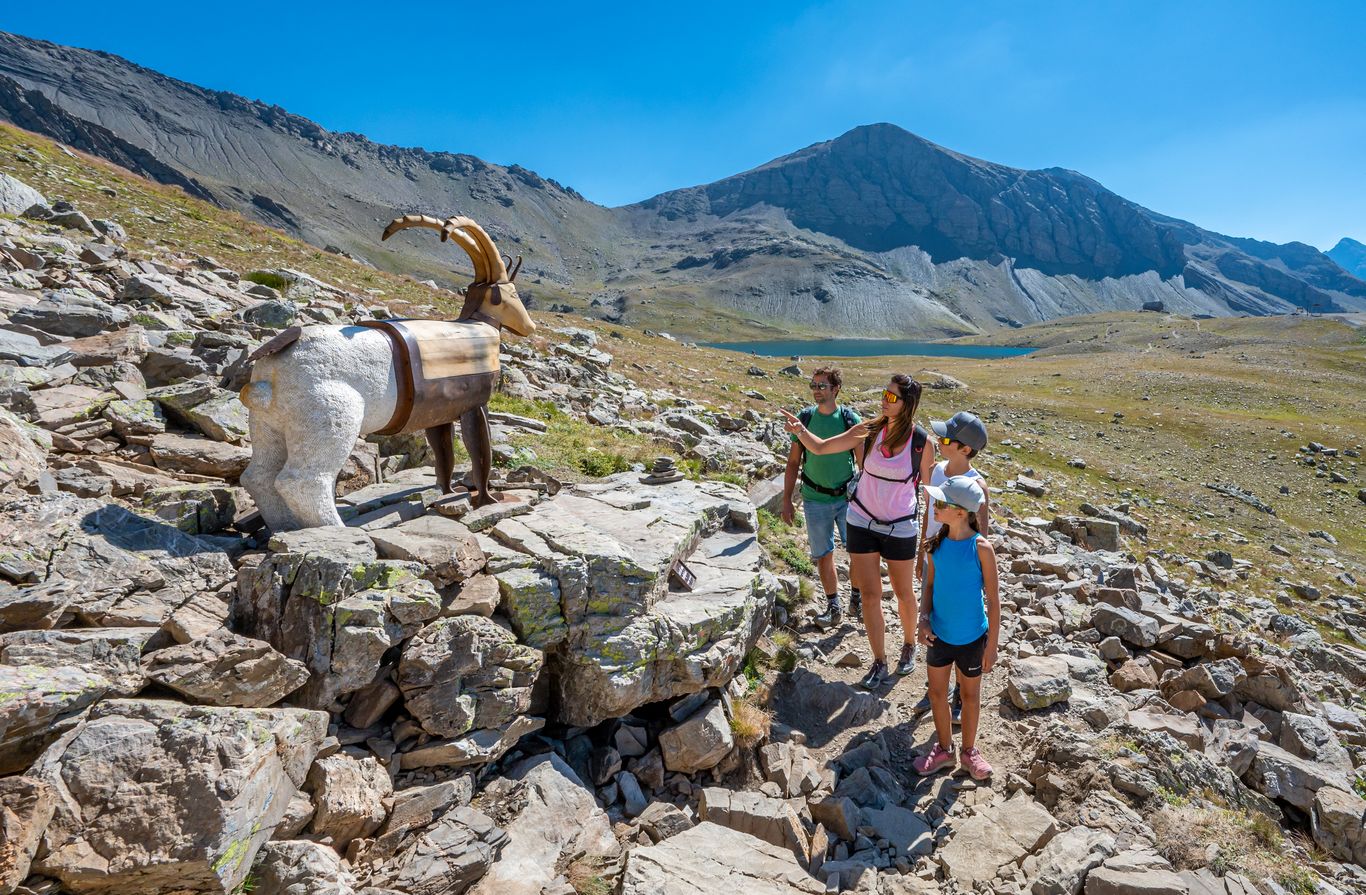
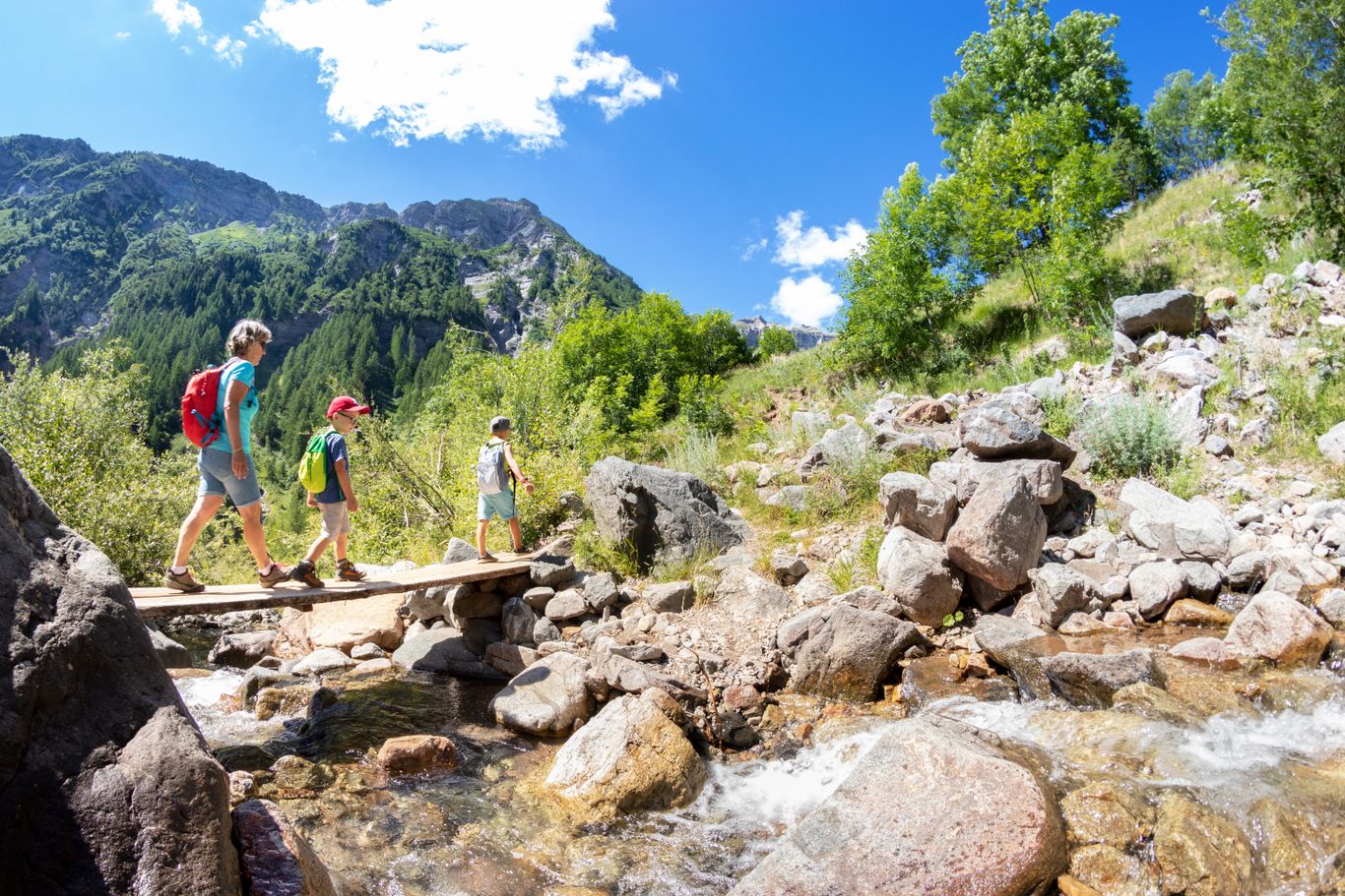
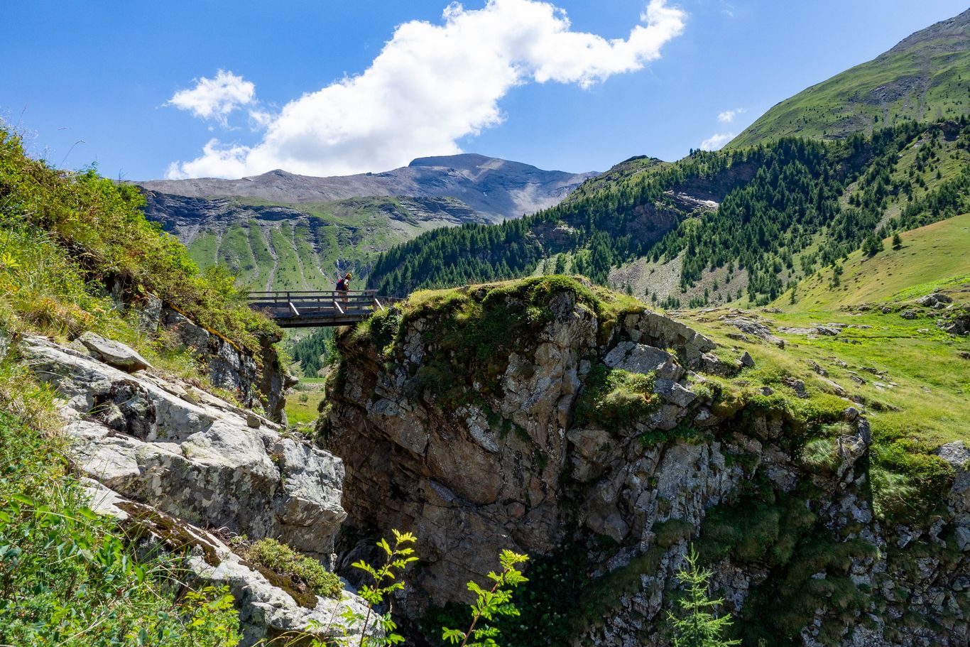
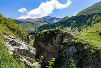
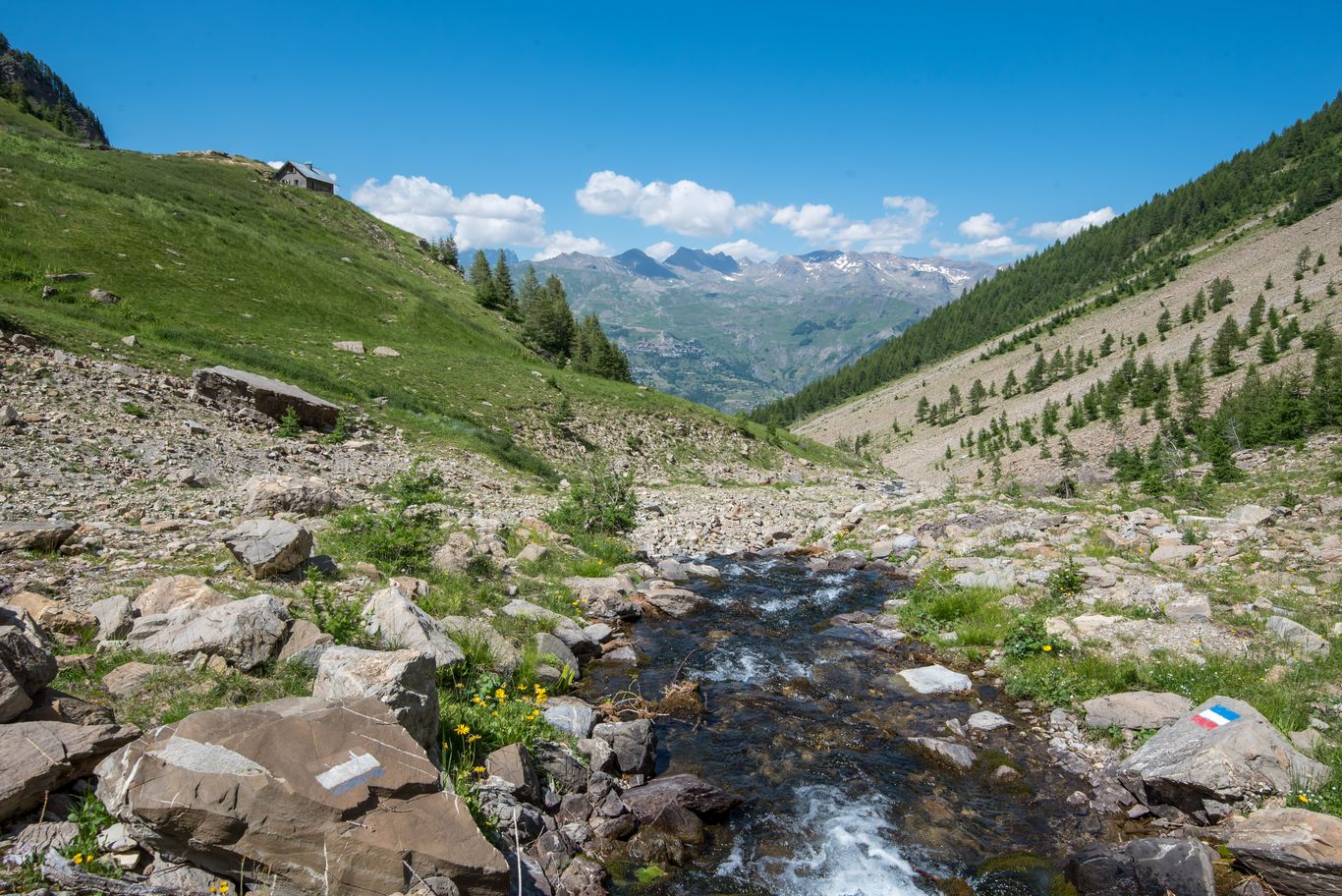
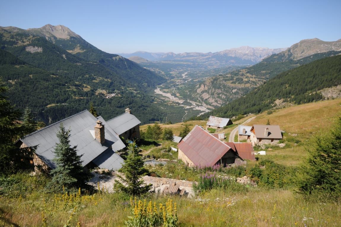
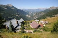
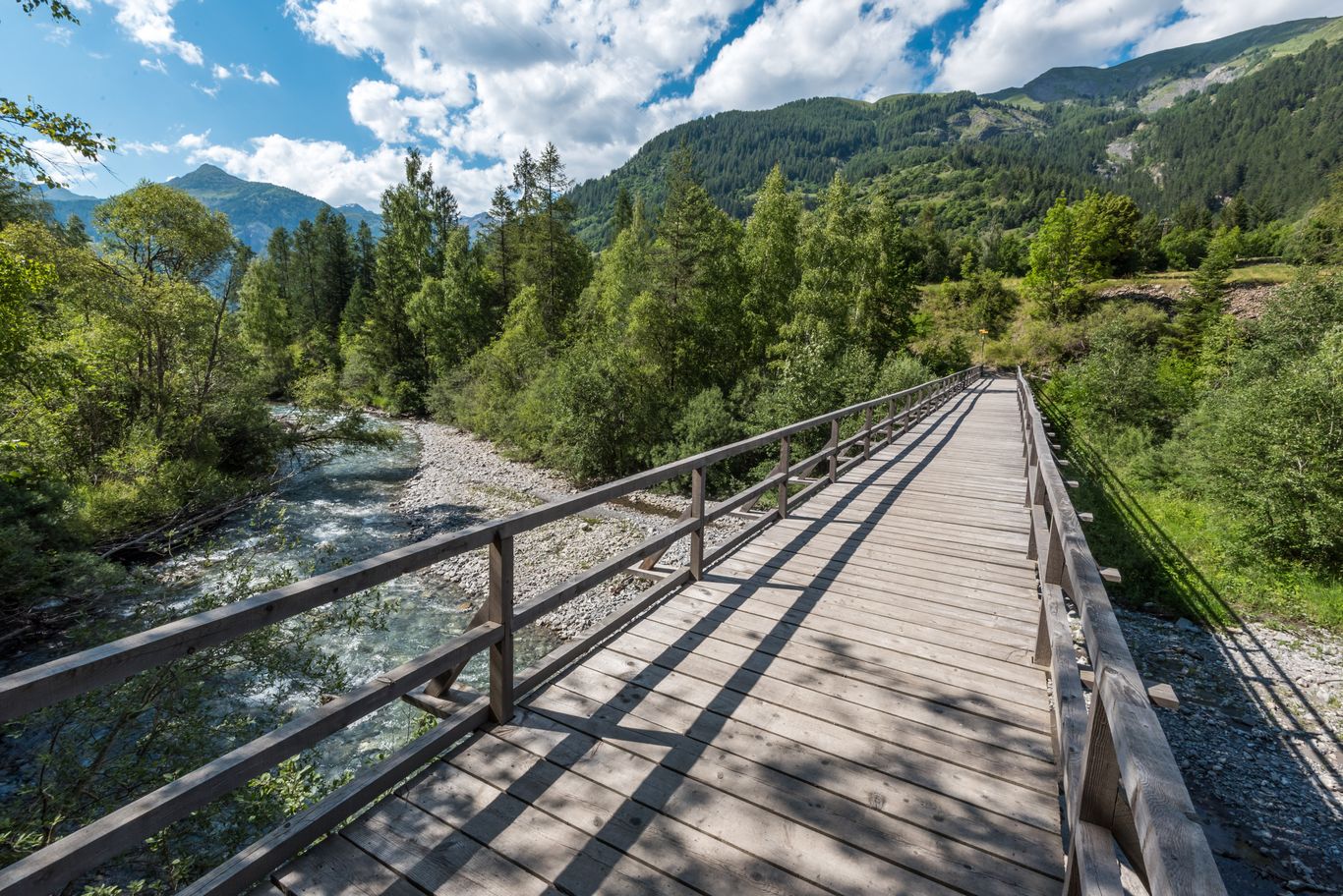
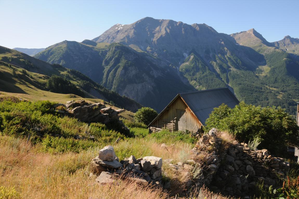
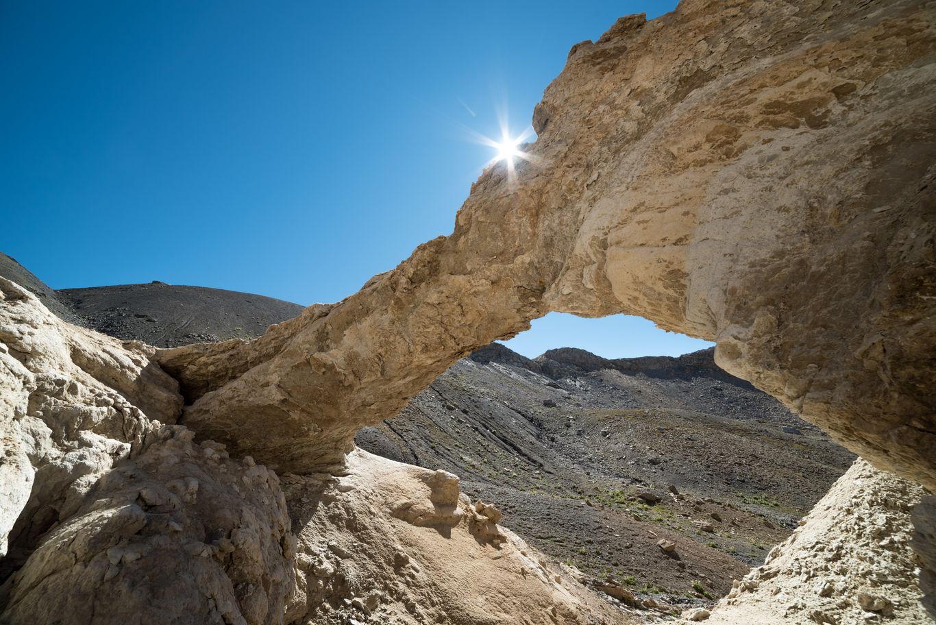
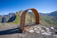
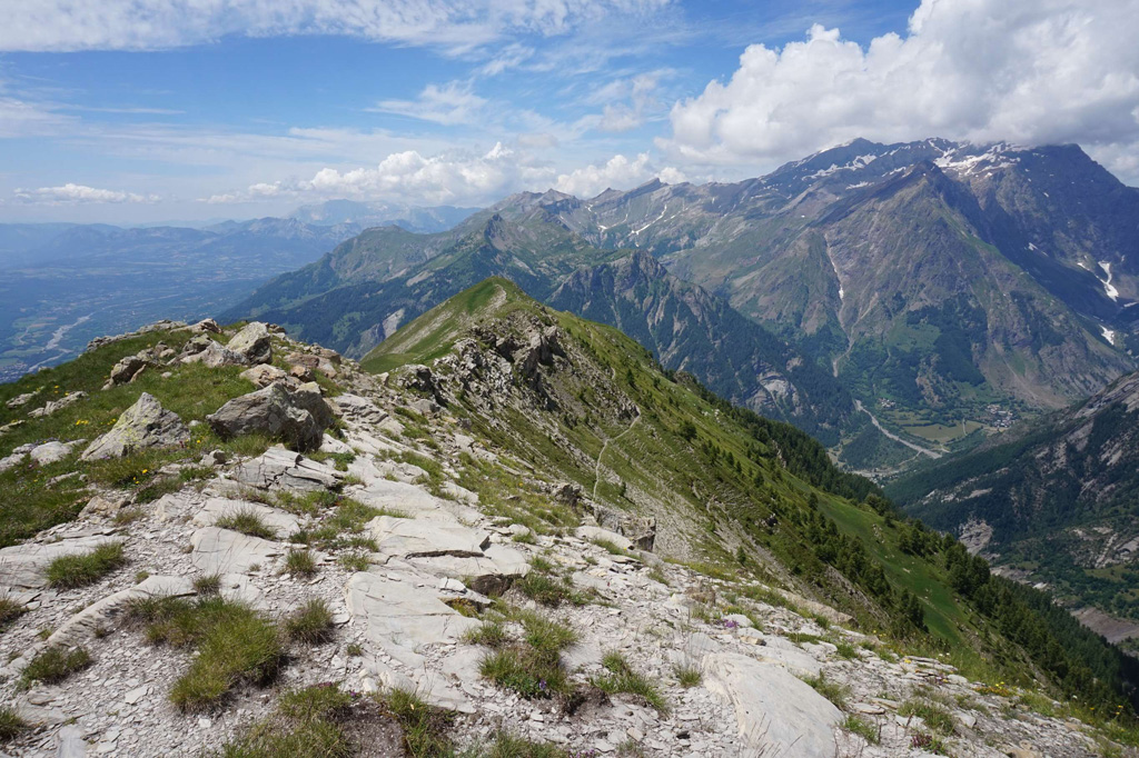
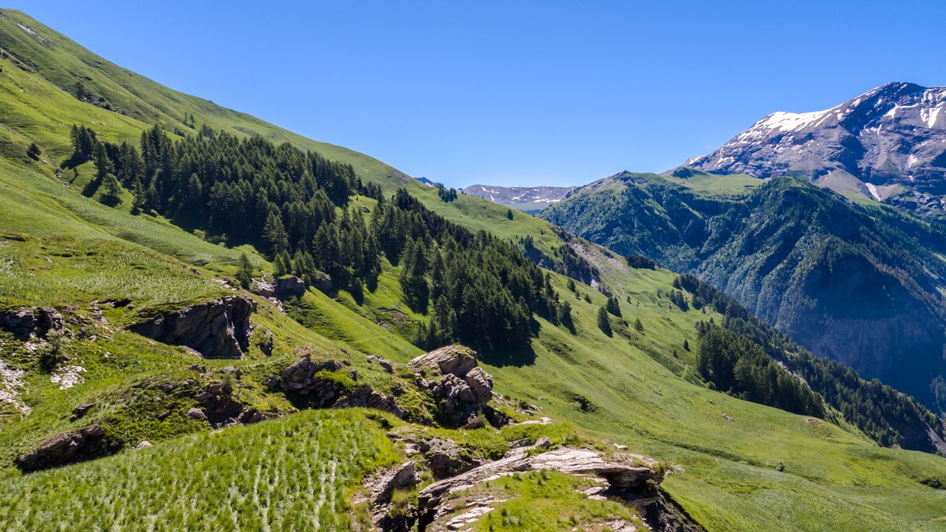
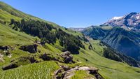
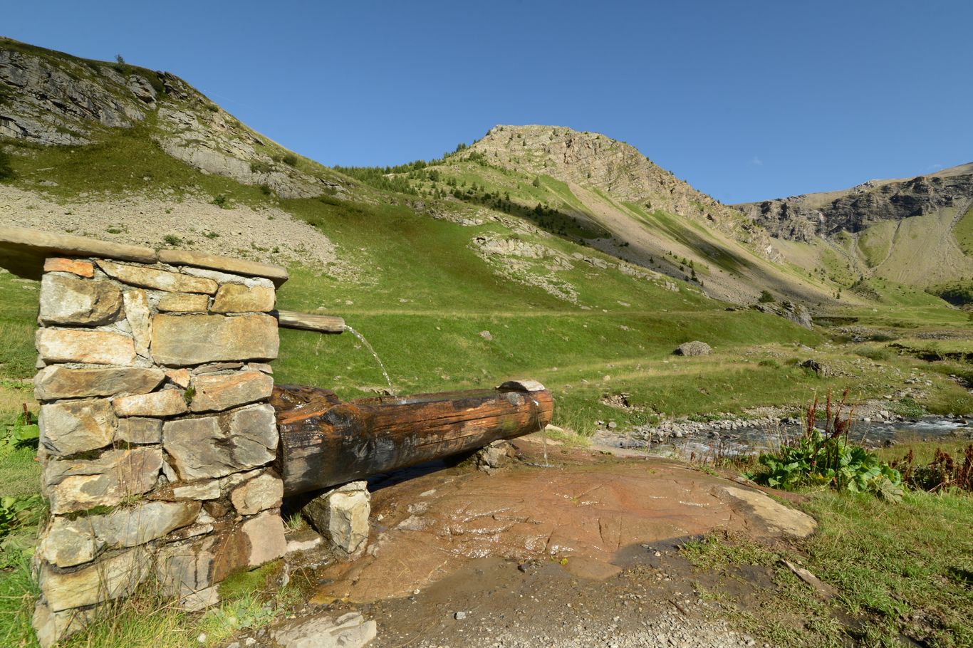
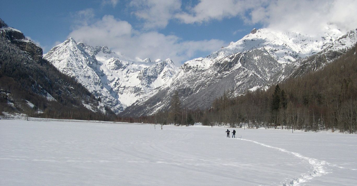
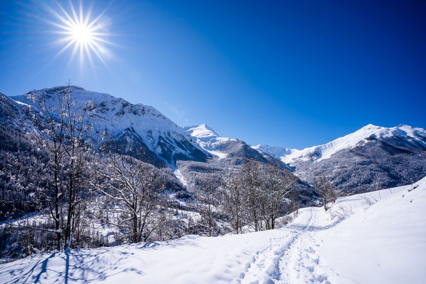
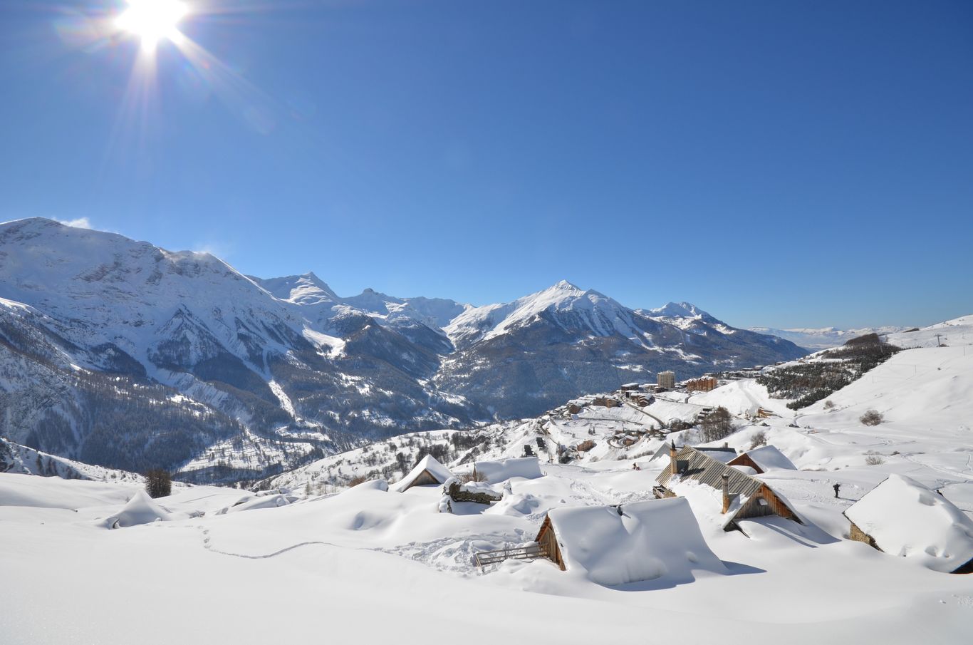
Nestled on the edge of the Écrins national park and between the Champsaur and Valgaudemar valleys, Orcieres is the gateway to a vast area of natural beauty. A natural wilderness where the alpine and mediterranean air meet and the sun shines generously. Welcome to paradise for hiking.
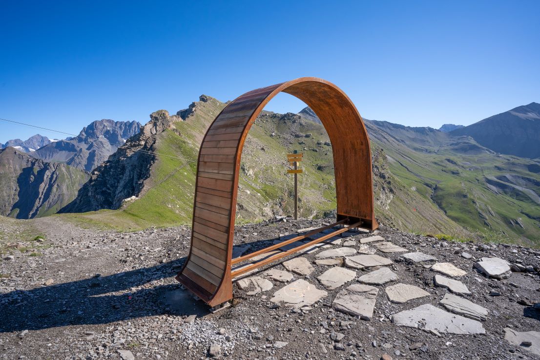
There are a multitude of different itineraries and destinations accessible from the commune (borough) of Orcieres: sunny walks along the terraces overlooking the Champsaur valley, cool strolls through the forest as well as more demanding walks including access to over 13 summits of 3000m or more taking you into the heart of the Écrins massif.
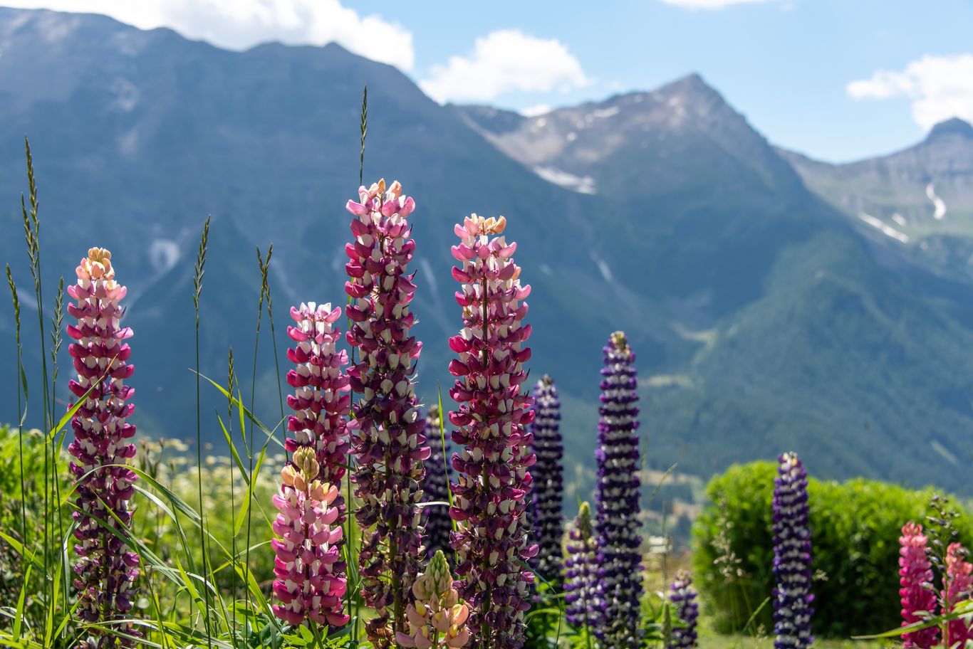
This exceptional territory is home to over 1800 species of plants and 350 species of vertebrates. Amongst these are the celebrated chamois and marmots which, although abundant in our valleys, require patience and discretion to be seen! And golden eagles which can be seen flying majestically high above the mountains giving an idea of the scale of this magnificent space...
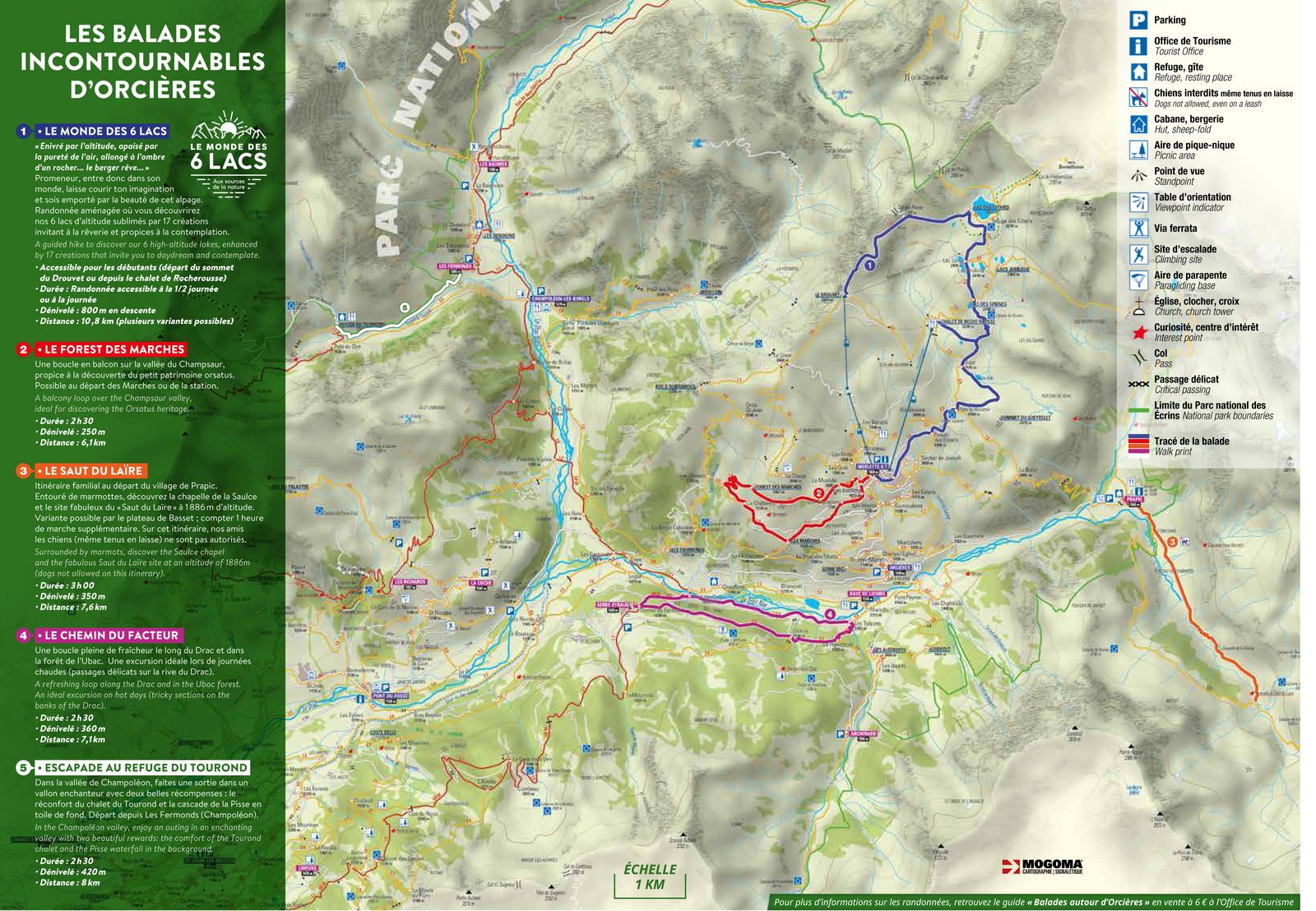
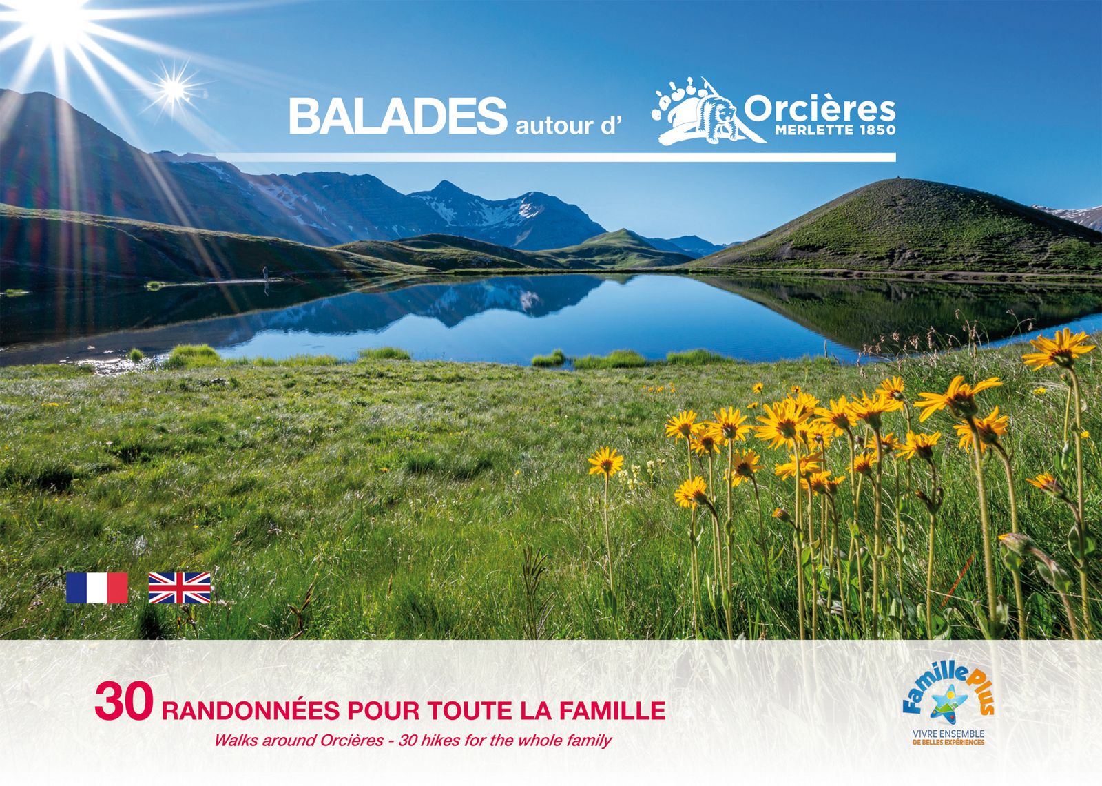
There are several 'classic' walks to be done in this area ! Guidebooks and other ideas can be found on sale at the tourist office and in particular in the edition Balades autour d'Orcières : a collection of 30 hikes for the whole family on sale at the price of 6€.
Summer hiking routes
Refuge du Tourond
Departure : Champoléon
Duration : 2h30
Distance : 6 km
Elevation : 350 m
Type : Round trip
The waterfall of Saut du Laïre
Departure : Orcières
Duration : 3h00
Distance : 9 km
Elevation : 415 m
Type : Round trip
Le Monde des 6 Lacs
Departure : Orcières
Duration : 3h30
Distance : 10.2 km
Elevation : 163 m
Type : Loop
The Rouannette source
Departure : Orcières
Duration : 2h30
Distance : 5.5 km
Elevation : 330 m
Type : Round trip
Le Forest des Marches
Departure : Orcières
Duration : 2h30
Distance : 6.2 km
Elevation : 250 m
Type : Loop
The path of the factor
Departure : Orcières
Duration : 2h30
Distance : 8.5 km
Elevation : 360 m
Type : Loop
Le Forest des Estaris
Departure : Orcières
Duration : 1h00
Distance : 5.3 km
Elevation : 150 m
Type : Loop

Le Tombeau du poète
Departure : Orcières
Duration : 1h00
Distance : 3.3 km
Elevation : 128 m
Valestrèche
Departure : Champoléon
Duration : 2h45
Distance : 5.4 km
Elevation : 585 m
Type : Round trip
Le lac des Pisses
Departure : Orcières
Duration : 3h30
Distance : 14.1 km
Elevation : 1003 m
Type : Round trip
Col des Terres Blanches
Departure : Orcières
Duration : 7h00
Distance : 22.2 km
Elevation : 1310 m
Type : Round trip
Découverte des hameaux d'Orcières
Departure : Orcières
Duration : 4h00
Distance : 8.2 km
Elevation : 50 m
Type : Go / roaming
Du sommet du Drouvet à Prapic
Departure : Orcières
Duration : 5h00
Distance : 15 km
Elevation : -1144 m
Type : Go / roaming
Le Roc d'Alibrandes
Departure : Orcières
Duration : 2h30
Distance : 7.8 km
Elevation : -800 m
Type : Loop
La traversée du Queyrelet
Departure : Orcières
Duration : 3h00
Distance : 8 km
Elevation : 400 m
Type : Loop
Le Saut du Laïre par le Basset
Departure : Orcières
Duration : 5h00
Distance : 11.4 km
Elevation : 607 m
Type : Loop
Snowshoeing
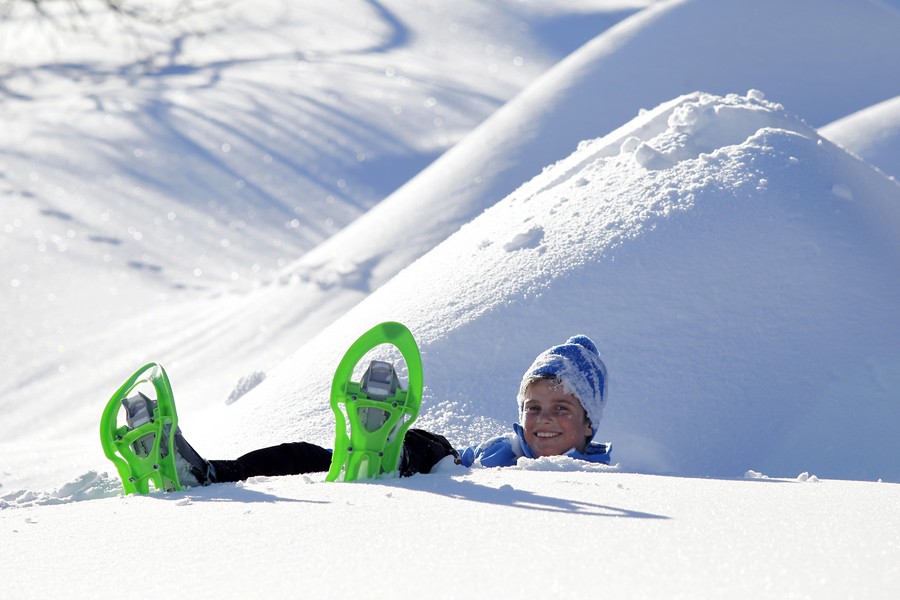
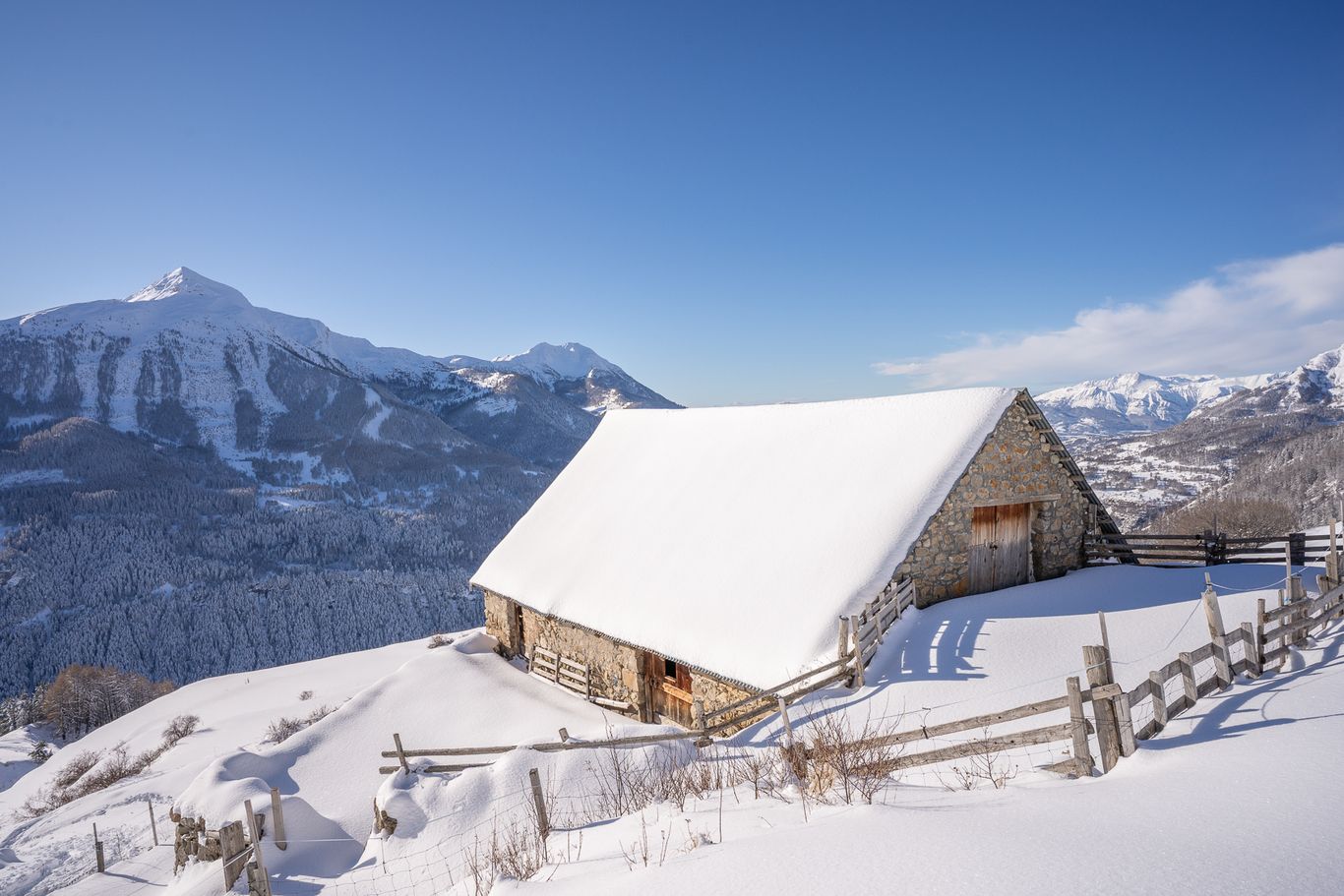
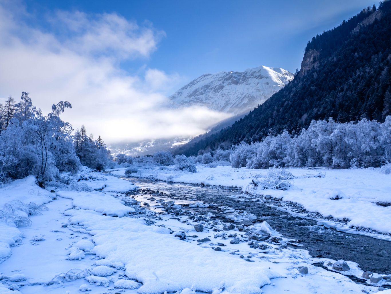
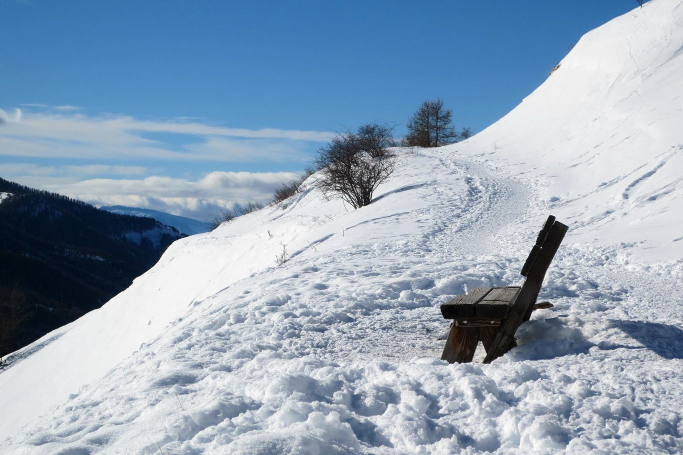
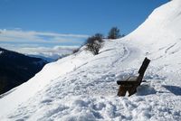
Because we want to make you discover our mountain in winter in the same way as summer, the Champsaur & Valgaudemar has set up marked trails for your snowshoeing and groomed trails for your winter walks. Trails map for sale (2 €) at the Tourist Office. A network of 35km marked trails for pedestrians in our valley Champsaur & Valgaudemar including 15km groomed from Orcières Merlette 1850. For trips in complete freedom !
Winter routes
Boucle découverte
Departure : Champoléon
Duration : 1h00
Distance : 2 km
Elevation : 50 m
Type : Loop
De hameau en hameau
Departure : Champoléon
Duration : 2h00
Distance : 3.2 km
Elevation : 70 m
Type : Loop
Le Forest des Marches
Departure : Orcières
Duration : 2h30
Distance : 6.1 km
Elevation : 250 m
Type : Loop
Le petit tour
Departure : Orcières
Duration : 1h00
Distance : 2 km
Elevation : 20 m
Type : Loop
Le long du Drac
Departure : Orcières
Duration : 2h00
Distance : 5 km
Elevation : 50 m
Type : Loop
Découverte des hameaux
Departure : Orcières
Duration : 4h00
Distance : 7.8 km
Elevation : 540 m
Type : Go / roaming
Le Forest des Estaris
Departure : Orcières
Duration : 1h00
Distance : 2.2 km
Elevation : 130 m
Type : Round trip


